In the beginning, a drought is invisible — how can you see rain that should be falling but isn’t? The effects of the long-term absence of rainfall become visible gradually. In most articles and videos about drought, a stereotypical visualization shows a bunch of sad, withered plants on top of dry cracking earth. However, the environmental, social, and economic effects of prolonged intervals without rain or snowfall are complex and manifold. Depending on demand, drought-induced water scarcity can occur after a fortnight without precipitation and can last for months or years. According to climate change experts in the IPCC Special Report on the impacts of global warming of 1.5°C, the rising global temperatures and shifting precipitation patterns are already leading to more frequent and severe drought events that are likely to worsen.
At which point a dry spell turns into a drought with negative impacts for humans, animals, or vegetation, depends strongly on the adaptability and resilience of local plants and ecosystems. Their vulnerability to droughts is increased by the degradation of soil caused by agricultural mismanagement or deforestation.
Failing crops due to drought-related water stress can lead to conflicts about water management, food distribution, or economic compensation. However, many of the adverse effects of droughts lag behind the initial dry spells that cause them. The decreased replenishment of water sources like rivers, lakes, and groundwater often leads to water shortages months or even years after a drought. When a severe drought hit the basin of the Paranaíba River in south-east Brazil in 2021, it not only led to electricity supply issues by reducing water supply for hydropower dams, but it also negatively impacted residents’ lives along the river.
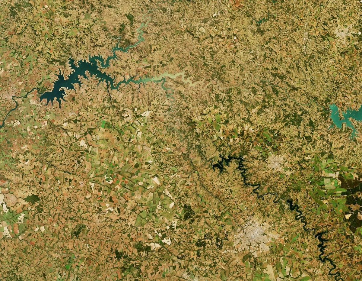
When upstream residents extract water for irrigation or store it in large reservoirs, downstream residents can get less water than they need. As a result, they are exposed to shortages of irrigation and drinking water, reduced transportation capacity on crucial waterways, and health risks through higher concentrations of pollutants in the remaining water. The vast areas connected by shared water resources result in a large number of stakeholders and administrators for just a single water source. This can lead to disputes about different accounting and measuring techniques, cross-sectoral rivalry, or transnational conflicts. Since aerial maps from satellites provide a fine-grained overview over vast land areas, independent of borders and terrain, they provide an objective basis for joint drought monitoring and goal setting. These images are collected repeatedly over months or years and contribute valuable data for historical analyses and a foundation for estimates of future water quality and availability. Having large amounts of consistent, long-time-scale datasets (which you can find in our platform) is clearly one of the big advantages of earth observation for water resource monitoring.
Another advantage of earth observation images, they are an excellent tool for reducing the need for costly ground-based monitoring stations, which ultimately makes satellite data more affordable than expensive in-situ measurements. In the last years, new developments like very high-resolution imagery, increasing affordability, and updates of aerial images in very short intervals led to the widespread integration of satellite data into the toolboxes of many precision farmers. Smart, high-tech farming methods that integrate data-driven optimization and automation into day-to-day operations are especially popular on Australian and American mega-farms.
From crop selection to minimal input irrigation and enhanced grazing schemes, these farmers utilize technological advancements like high-resolution imagery to create optimal, data-driven treatment plans for each square meter of their fields. A crucial tool for this in-depth monitoring of crops and grazing land are maps of vegetation greenness, measured by the Normalized Difference Vegetation Index (NDVI). By representing the relationship between infrared light and visible red light on the ground, the NDVI provides insight into vegetation health. Through the short revisiting times offered by earth observation providers like Planet Labs and the relatively low cost of their swarms of mini-satellites, farmers can order images for specific times or intervals adapted to their business needs.
However, not every farm has this level of technology and automation. Even if smaller and less automated farms are not using on-demand crop observation or advanced geospatial analysis, they can still benefit from integrating earth observation through improved yield predictions, recommendations for climate change adaptation, and faster and more transparent insurance claims processing. For agricultural businesses — where every new growing season comes with unknown risks and potential damages to crops — lower yields or even crop failure can be an existential threat or hinder necessary investments. Insurance for drought-related losses can be hard to get because consistent drought monitoring to prove weather-related damages and abnormal natural occurrences can be complicated and costly.
Sending inspectors to remote locations to manually measure soil moisture and crop health can also lead to long delays in the payment of insurance claims, leading to delays in potentially time-sensitive investments. Remote sensing images can provide timely and low-cost opportunities for insurance companies to review climate-induced damages and crop health. High-quality imagery from Synthetic Aperture Radar (SAR) sensors provide updates on relevant and reliable indicators like soil moisture and vegetation health even for cloud-covered days. Through collaborations with geospatial intelligence companies such as Orbify, crop insurers can easily visualize current and past crop conditions on dashboards with integrated aerial viewers to review drought-induced damages with just a few clicks.
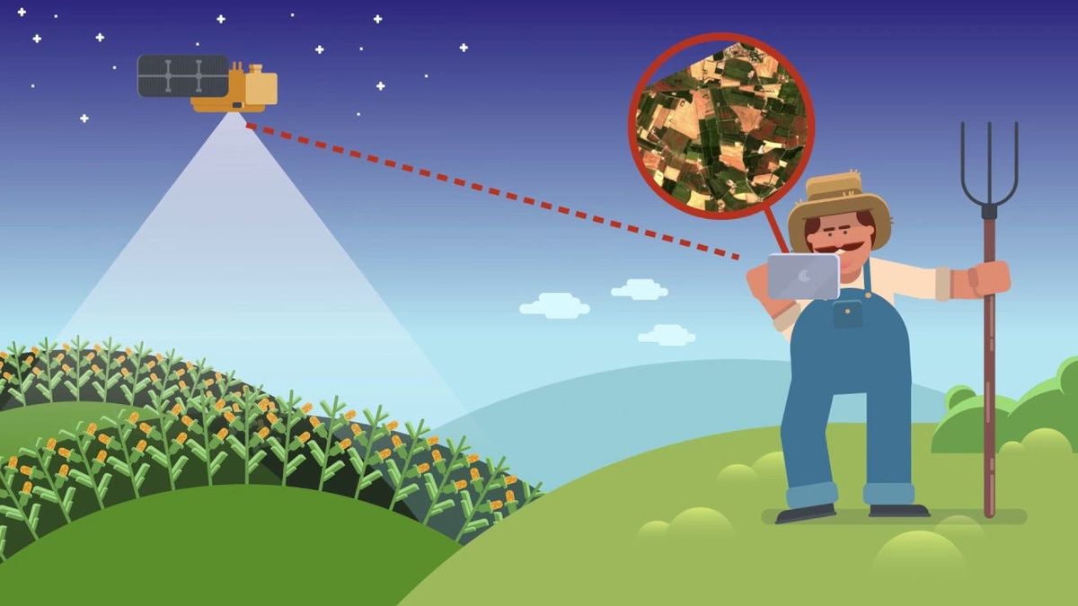
Image Copyrights: geo|cledian
Whether for regional and transnational assessment of drought impacts, fine-tuning agricultural production, or ensuring smooth insurance claims processing, remote sensing of droughts is already adopted in many aspects of agricultural production. Innovations like ESA’s ROSE- L and Hydroterra satellites will provide higher revisiting times and optimized sensing capabilities for soil moisture, expanding an already powerful catalog of open-source imagery. Additionally, new swarms of micro-and nano-satellites will make on-demand images even more affordable and accessible for more regions than ever before. The trend to provide Analysis Ready Data — data already prepared for processing — will continue and boost the number and scope of geospatial intelligence companies offering data processing and tailored insights. Time-consuming data assessments and data preparation processes will increasingly be delegated to AI to give practitioners systemic, data-driven options for action.
Designing adaptable, smart water management systems built on more profound knowledge about the systemic causes of water scarcity can save lives and protect ecosystems. Translating these insights into location-specific recommendations for action and integrating them into data-driven farming methods will enable farmers to use resources like water and fertilizer more sustainably and improve adaptation and recovery after drought events.