
Event Hub:
an all-access pass
to our Live and on-demand events
Gain access to our past and upcoming events featuring leading climate experts. Stay informed with the latest insights, strategies, and trends shaping environmental sustainability.
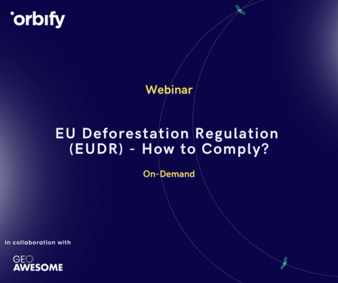
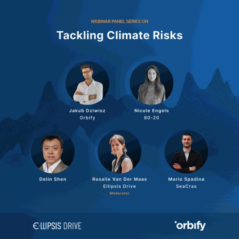
On Demand Digital Events
Choose your category


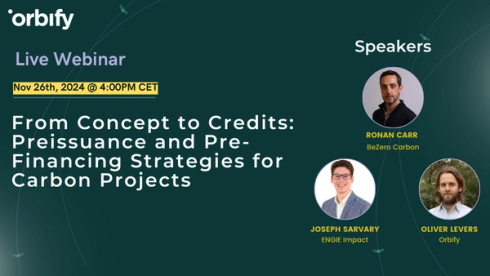
From Concept to Credits: Preissuance and Pre-Financing Strategies for Carbon Projects
62 min
November 26, 2024

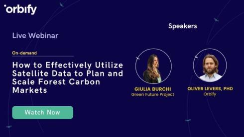
How to Effectively Utilize Satellite Data to Plan and Scale Forest Carbon Markets
61 min
September 21, 2023
Discover our
Earth Central Newsletter

Start Your Journey with Orbify in 3 Simple Steps
1
Schedule Your Call
Schedule a call using the calendar widget on this page.
2
Needs Assessment Call
You’ll receive a calendar invite with preparatory notes for the needs assessment call.
3
Tailored Solution
After the call, if our solution is a good fit, you'll be invited to a free trial of our product, customized to meet your specific needs.


