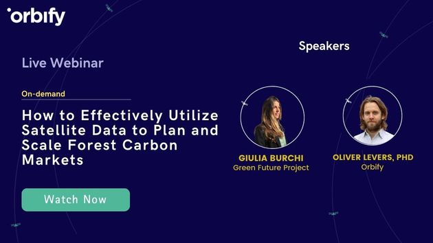
How to Effectively Utilize Satellite Data to Plan and Scale Forest Carbon Markets
We will delve into the innovative world of using satellite data to revolutionize carbon offset projects – from precision planning to transparent verification. Explore how satellites, combined with advanced machine learning, offer scalable solutions to address the challenges of forest conservation and restoration. Discover how satellite data improves transparency, accuracy, and accountability in the carbon market, while also benefiting local communities and ecosystems. This webinar is a must-attend for carbon offset program developers and businesses interested in sustainable practices, where we'll uncover the untapped potential of satellites in achieving climate goals.
In this video we cover

Speakers


