Earthquakes are considered among the most devastating events in the course of history, resulting in catastrophic levels of damage to both human lives and infrastructure. Caused both on land and within the ocean bed, the limited capacity of prediction and early warning of the natural hazard makes it difficult for the disaster management organizations and personnel involved in rescue and relief operations to accurately ascertain the scale of the damage that is likely to be caused in case an earthquake event is triggered. Several leading international organizations and academia working in the realm of earthquake hazard research are increasingly focusing on developing tools and techniques that would enable effective earthquake prediction with high accuracy and enable the development of a robust earthquake early warning system. On the other hand, the rapid post-earthquake damage assessment techniques are an important tool that enables the rescue and relief operations to be executed with the optimum level of efficiency making the best possible use of the logistics and resources available.
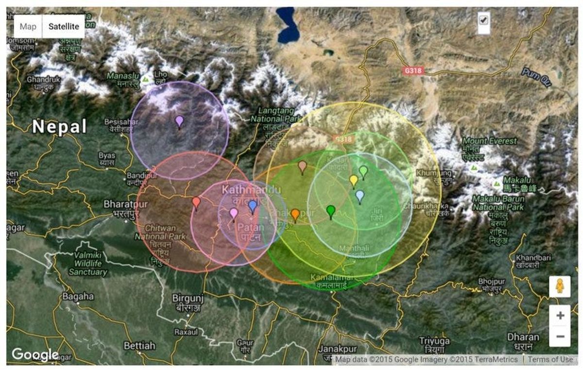
Post-earthquake rapid assessment can be performed using a variety of geospatial data and tools, for instance in the case of Nepal’s earthquake in 2015, the geoscientists utilized satellite measurements to assess the impact of the earthquake on land and aid the emergency rescue and relief organizations. Sentinel-1A satellite radar imagery was analysed to assess the extent of land deformation which revealed the account of damage a few kilometers from the capital city Kathmandu. The imagery before and post the earthquake event were acquired and the changes between the two were determined by combining the images which showed rainbow coloured interference patterns. This pattern is also knows as the interferogram which enables the scientists to perform the quantification of ground movement.
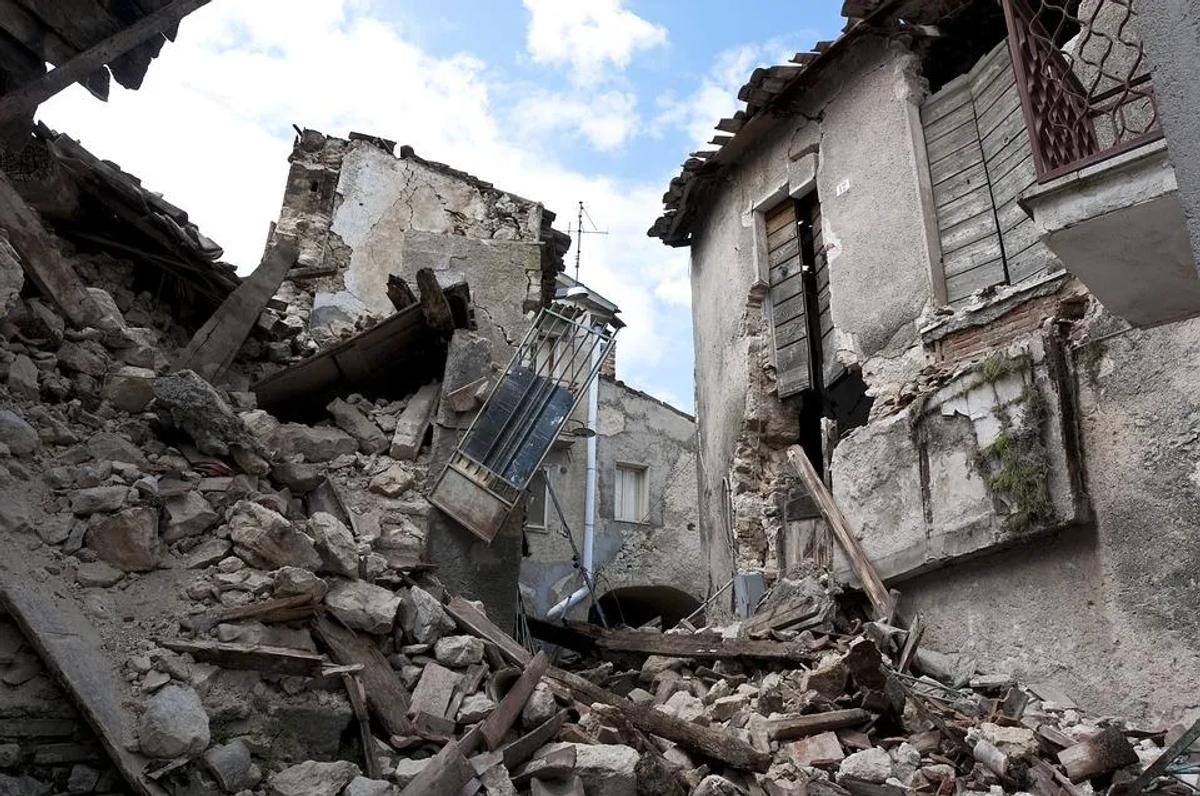
Satellite imagery of the earthquake affected areas
The swath width of Sentinel 1A is 250 km which allows the image to be captured over a large area from a single scan. The temporal resolution is 12 days which covers the entire area utilizing the same geometry and enables the regular monitoring of land deformation using interferometry which is a powerful technique used in the post-earthquake assessment. The Copernicus Environment-Monitoring Programme launched Sentinel-1A as its first satellite, the programme being launched under the European Commission. Earthquake impact assessment, since the phenomenon is a geohazard, can be performed using this imagery as data is available owing to the all-weather and day-night coverage. The satellite is particularly suited to provide the global scale observations of volcanic and tectonic areas in a systematic manner. The Copernicus Emergency Management Service (EMS) supports and manages the cycle of emergency management and for this purpose, the imagery from Copernicus and Sentinels are coordinated by European Space Agency (ESA).
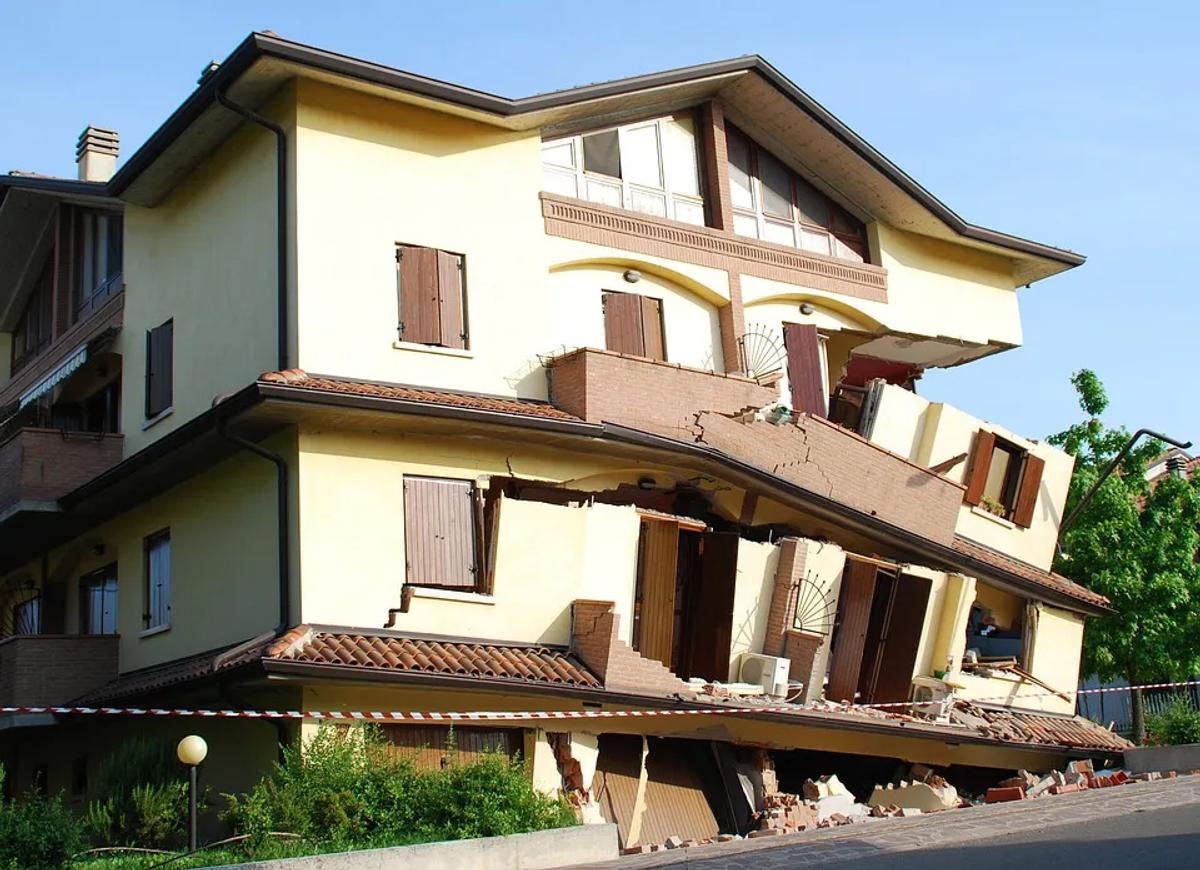
Post damage assessment is crucial to emergency response and rescue operations. The resources available such as medical facilities, food and other aid, removal and disposal of debris and appealing for international community assistance is dependent upon the accurate estimate of damage and losses. High resolution aerial or radar imagery serves as an effective source of damage assessment coverage over a large area for building collapse. However, the lower levels of damage caused are not clearly captured by satellite remote sensing data which form a huge part of the post-earthquake damage.
For this purpose, the satellite imagery provided in easy-to-use tools like Orbify, is combined with pre-determined damage assessment models and initial rapid assessment data collected from the field in order to extrapolate the actual extent of losses incurred. The field-based assessment has a higher degree of accuracy but given the need to perform rescue and relief operations within a limited time frame, an extensive survey and data collection process cannot be performed. The field-based damage assessment of buildings consists of collecting geographical coordinates and the state of the building by using the ATC-20 methodology which is a scale used for determining the extent of damage to the structures.

Fireman in a rescue mission after an earthquake
Another important post-earthquake information management system available in near real-time is the ShakeCast system. The system is readily available for and used by utility operators, transport engineers, emergency preparedness organizations and first responders in the event of an earthquake. The concerned personnel receive ShakeMap products which allow them to assess the on the ground situation, identify priority sites for inspection and perform initial damage assessment of the buildings and other critical infrastructure. The system is up to date and has functionality and software usability that makes it easy for novice users to extract information, as well as the technical and engineering-related personnel, can utilize it for their own specific purposes. The ShakeCast Workbook stores a user interface that is Excel spreadsheet-based allowing the users to export XML data files. Users are able to extract information based on their specific minimum information requirements, while experts can retrieve modified data related to structural response into an inventor that is linked with HAZUS Advanced Engineering Building Modules (AEBM).
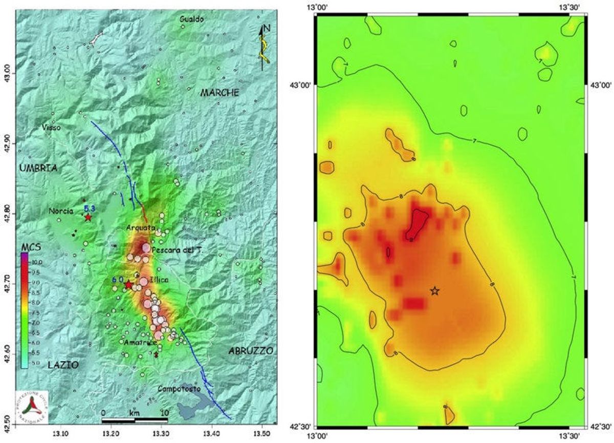
Comparison between the reported macroseismic intensities
The United States Geological Survey (USGS) is working on modifying the Earthquake Early Warning (EEW) predictions to incorporate data related to the level of shaking of tall buildings. Presently, the ShakeAlert EEW system does provide alerts to regions which are far away from the earthquake epicentre owing to the low intensity of predicted ground‐shaking. However, the dynamic behaviour of tall buildings in these areas may cause the residents to experiencebuilding shaking, even if located farther from the epicentre. In addition, post-earthquake damage assessment is also specifically carried out for reinforced concrete (RC) bridge piers. Shake table tests are used in this regard where six RC columns are exposed to different levels of ground motion simulations under specific time-series characteristics and structure details. The results give a good estimate of the behaviour of reinforced concrete (RC) under the different potential ground motions of earthquakes.
The prediction and early warning of an earthquake is a complex phenomenon since the vent cannot be anticipated with complete accuracy and certainty. However, the post-earthquake damage assessment plays an important role in the planning and mitigation process given that the geological factors, the impact of ground motion on the buildings and other infrastructure, and the estimate of levels of damage are determined using satellite remote sensing imagery that provides coverage over a large area with suitable temporal resolution. If you’d like to use Earth Observation for analyzing such imagery, visit Orbify.com
References
1. https://www.usgs.gov/
2. https://www.esa.int/