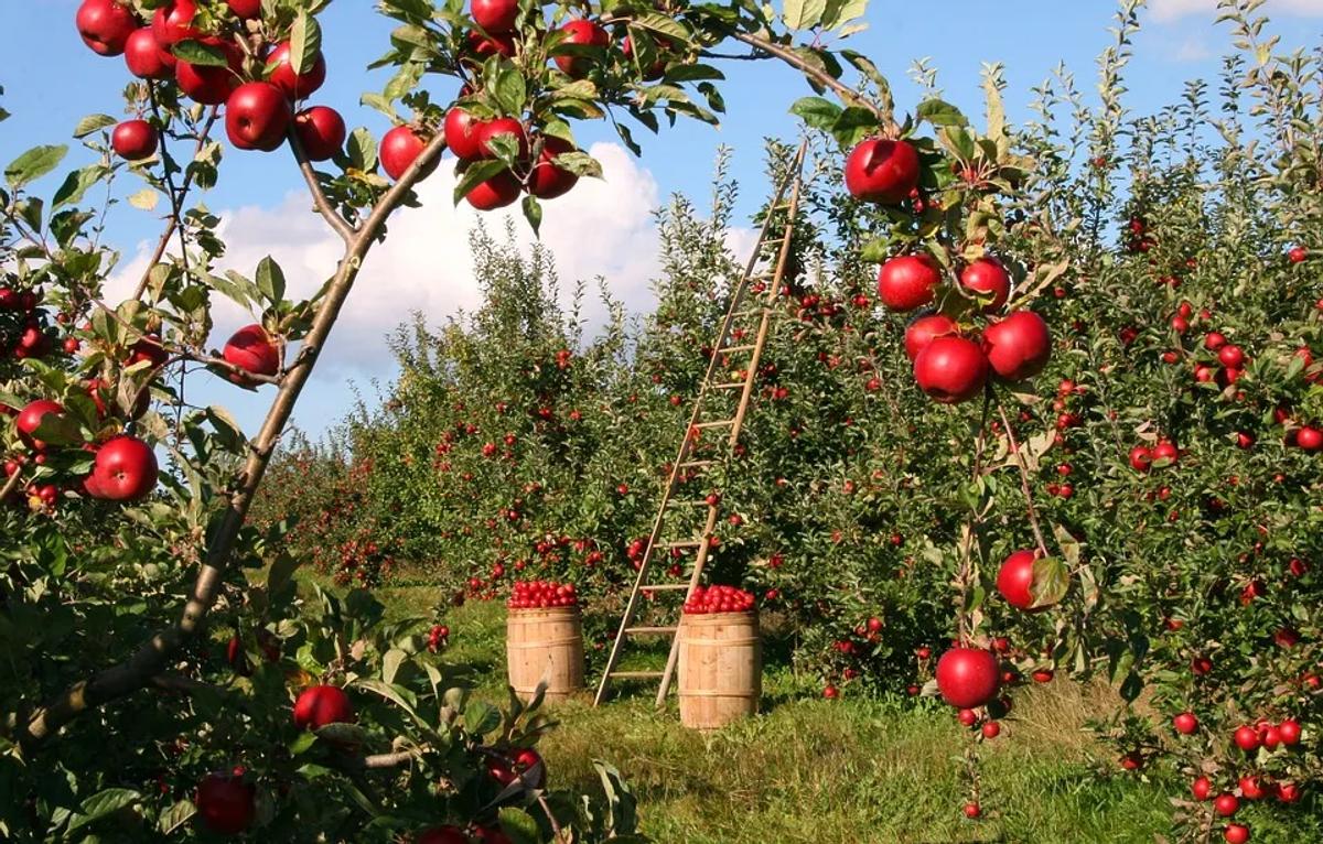
The world’s primary sector, agriculture’s impact on human lives is a matter of fact. Well-addressed farming ensures the well-being of a local community, as well as of the entire world population.
Farming is the most provider of food security, and for this reason, the FAO has covered a list of the main challenge the sector is going to face in the near future: sustainable models, increasing production and efficiency, climate change, and hazard handling are some of the summons agriculture have to deal with.
Despite the traditional technology this sector is rooted in, farming has also embraced, in the last decades, the advent of new tools, aware of the main problems and aims ahead. One of the leading technologies agriculture has already taken advantage of is remote sensing (RS).
The launch of the Landsat program in 1972, by the U.S. Department of Interior in collaboration with NASA and the Department of Agriculture, set a milestone for this powerful collaboration.
Satellite data for agriculture: what you need to know
The multispectral data acquired by satellites are calibrated on the ground with the spectral signature of the material observed from the space. It allows automatizing this method for the entire globe in order to analyze the spectral signature and its variation. It is a process primarily (but not only) performed for soil minerals and crop health: the analysis of these elements is the fundamentals for the remote sensing approach to agriculture. Satellite data could collect and distribute handy information regarding crop status, soil mineral composition, water availability, and atmospheric conditions. Alongside multispectral optical images, even RADAR satellite data represent another useful resource for agriculture. The backscattered signal (the portion of the radar signal redirected to the antenna by the target) is characteristic of the crop structure, cover, and moisture content, helping its monitoring further.
Precision Agriculture benefits from satellite-based Earth Observation (EO)
Remote sensing tools could have widespread usability in the farming sector, thanks to their easy access: the most-in-use satellite products, Landsat and Sentinel, are indeed an #open source imagery service. Although it represents an invaluable aspect, remotely sensed images aid farming in various ways, which the most palpable could be listed as follow:
Crop monitoring
It represents the benefits core-satellite images offer. The vegetation status update within a short revisit time (varying from 16 days of Landsat 8 to 5 days of Sentinel-2 until 1 day of MODIS) represents a revolutionary solution for tracking the vegetation health through multispectral techniques, like the
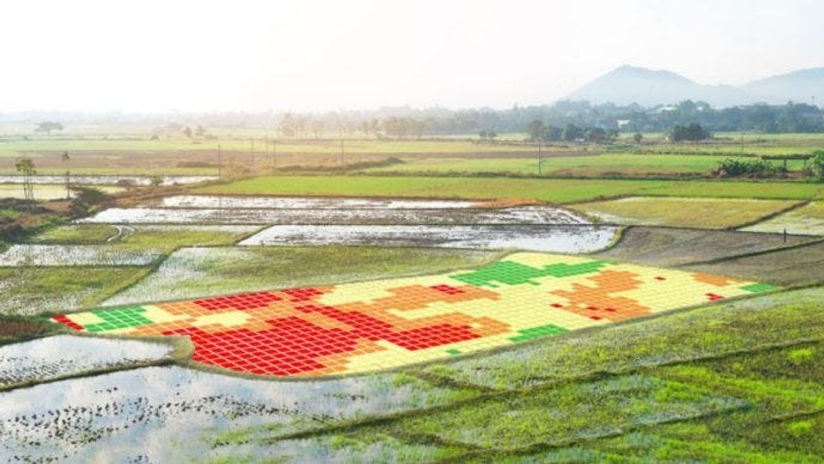
NDVI (normalized differential vegetation index), is the most common band calculation used for crop health variation. The health assessment affects the procedures needed to operate on the field and helps identify areas where a disease or a growth drop-off is registered.
Yield prediction
The data gathered from satellites allow for estimating the yield production. The data are included in software where analytical calculations are performed which help to evaluate the crop quality and the right timing for harvesting. These procedures support a preferable strategy for crop collection and
storage and avoid a waste of resources and budgets.
Water management
The right amount of water strictly determines the quality and quantity of crop plantation and, for farmers it represents the key elements for the plantation management. Satellite data (both multispectral as well as RADAR) capture, with high precision, the water in the atmosphere and soil and foresee rainfall probability, assisting in #drought monitoring and addressing the best timing for irrigation Flood prevention is also another water issue, which could be managed by the remotely sensed data. They allow detection areas where the amount of water could cause damage to the plantation.
Soil Analysis
The multispectral mark of the soil minerals could be certainly inspected and recognized by multispectral and SAR satellite data. As the mineral component provides the principal support to crop growth, it is extremely important for farmers to know its exact amount and have a picture of the best suitable area for their farming. On the other hand, the images delivered by the satellite help in identifying the spots where fertilizer and seed are needed in order to increase the yield production and avoid a shortage in the percentage of harvesting.
Development and validation of methodologies for estimation of crop condition (e.g. crop height, extinction coefficients and growth stage) by means of Polarimetric SAR (Pol-SAR) and Polarimetric SAR Interferometry (Pol-InSAR).
A tangible impact
As above mentioned, satellite images contribute in a real way to delivering the best agriculture practices. The integration with several #geospatial tools (especially drones, suitable for collecting aerial images and creating
aerial maps) gives a significant substance to what is nowadays called “precision agriculture”. It is the foremost tendency in the current farming activity and it is a “…management strategy that takes account of temporal
and spatial variability to improve the sustainability of agricultural production”, as ISPA explains. In order to achieve the method expressed in that sentence, it is inevitable to resort to satellite images and their farming issues’ solutions. There are already many examples showing how Landsat images have improved farming activities around the globe from Australia to Morocco and Chile: for all these cases, the application of data gathered
from satellite images has helped farmers to adopt better decisions and improve their farming activities. Moreover, the Sentinel satellite constellation provided by the Copernicus program is designed to put on the table a new set of high-quality imagery with the aim to enhance and help the agricultural sector to predict future challenges, like climate change, with a constant updating system, whose results are already under our eyes.
The high amount of images collected by satellites for Earth Observation is going with no doubt to be more and more in high demand. The accurate data gathered from this source, combined with increasing geospatial tools
will enable farmers to adopt the best management strategies and to face the demanding challenges of the future puts ahead.