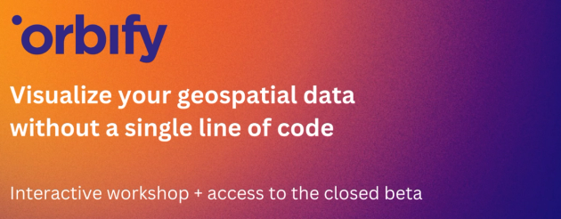
Visualize your geospatial data without a single line of code
Here at Orbify we help transform satellite imagery and geospatial data into interactive Web applications for environment monitoring. Without a single line of code. We've been working hard on introducing a completely new approach to building application workflows, which allows to forget about writing code and use the visual block editor, meaning you can drag and drop data sets, algorithms and choose the preferred visualization mode like building blocks within a few mouse clicks. In this webinar we will show how to build certain environmental monitoring apps (like palm oil factories monitoring & flood detection)
Speakers