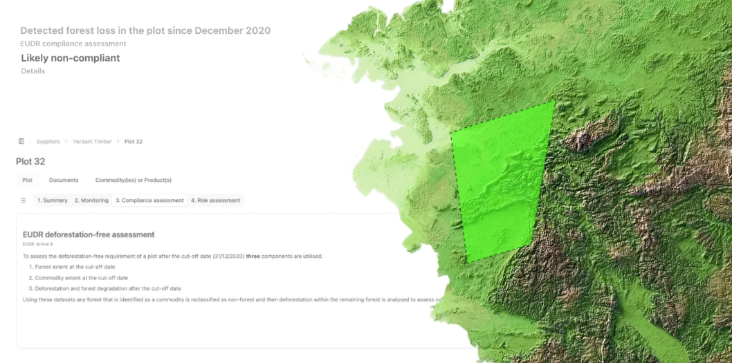
From supplier geolocation to DDS submission in TRACES.
Orbify collects plot data from your suppliers, checks every plot against satellite records and files your due diligence statement.
Send us a sample and we’ll show you where you stand.
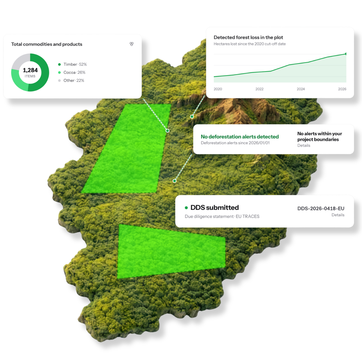


- Suppliers submit through a link. No account, no GIS software
- An evidence trail on every plot, ready for an audit
- Statements filed to TRACES from the platform. Shipment data comes in from your ERP or API
- Every plot checked against satellite records for forest loss after 31 Dec 2020